Iceland volcano: intensity of volcanic eruption remains steady
A volcano erupted in Iceland north of the evacuated town of Grindavik. The Icelandic Met Office believes the eruption is reaching a state of equilibrium.

Show key events only
Iceland volcano Grindavík erupts: live updates
Iceland volcano live: headlines
- Iceland Meteorological Office: Size of volcanic eruption diminishing
- Discharge from volcano on the Icelandic Reykjanes peninsula has reduced from initial 300 m3/sec to 10 m3/sec
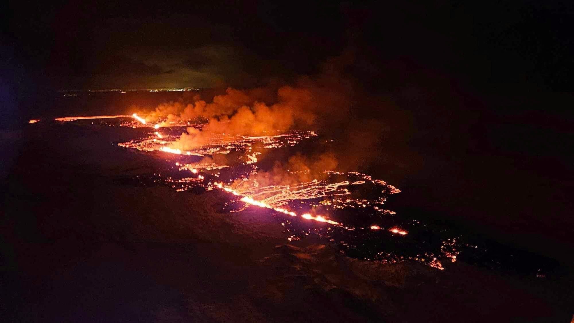
- The eruption started at north of the town of Grindavik at 22:17 local time (15:17 ET)
- The 4,000 residents had already been evacuated weeks ago due to detected volcanic activity
- Lava flow moving north away from Grindavik and power station
People advised to stay away from Grindavik eruption, told to wrap Christmas presents instead
The lava flow from the fissure two and an half miles long in southwest Iceland that opened on Monday has abated significantly. However, authorities are warning that the situation could change quickly.
The national meteorological office says that more magma could be rising to the surface, potentially even opening new fissures. In the meantime, the volcanic eruption is under observation and people are being advised to stay away from the area.
Instead, Hjordis Gudmundsdottir, communications director for Iceland's civil defense department, told a local broadcaster that people would be better off getting into the Christmas spirit. “Maybe just have a hot cocoa at home and wrap Christmas presents", she said.
Lava flow from Grindavik eruption moving north
The flow from the fissure northeast of the Icelandic costal village of Grindavik has slowed to 10 cubic meters per second from the initial 300 cubic meters per second during the stages of the eruption. Additional good news is that the discharge is now concentrating around two of the cones and heading north away from the evacuated settlement and the nearby power station.
Perspective of new Icelandic volcano proximity to Grindavik
On the evening of 18 December, Grindavik in southwest Iceland got the new neighbor that had been expected when a fissure some 2 and a half miles long opened releasing molten rock. The new volcano is less than two miles from the fishing village whose 4,000 inhabitants were evacuated in November after a series of intense earthquakes.
320 earthquakes recorded since eruption began, activity decreases
According to the Icelandic Meteorological Office, new aerial images of the area show that there are now three vents erupting southeast of Stóra-Skógfell, down from the previous five. The lava has mostly flowed east from the eruption site,
Since the eruption began, about 320 earthquakes have been measured over the magma channels. The largest earthquake, with a magnitude of 4.1, occurred at 11:25 p.m. on Monday. After midnight, seismic activity significantly decreased.
Dramatic footage of Iceland volcano
This drone footage of the volcano eruption has gone viral, giving a closeup view of the lava that has been spewing. The video survived the trip, although the drone didn't.
Volcanoes around the world have been putting on some impressive shows prompting the question by many, which ones are the biggest?
Grindavik eruption seen from space
Polar-orbiting satellites captured the eruption near the Icelandic village of Grindavik on Monday evening. The eruption, while expected, was larger than anticipated spewing out roughly 3,530 to 7,060 cubic feet per second.
The flow of molten rock from the fissure that spans roughly 2.5 miles has diminished but it isn’t clear how long it will continue.
In October, intense earthquakes shook the southwestern Icelandic village of Grindavik. On Monday night, lava erupted, spewing forth from a nearby fissure.
There is uncertainty about how long eruption in Iceland could last.
Grindavik eruption in Iceland larger than previous ones
The eruption near the Icelandic fishing village of Grindavik was not unexpected but its size was larger than others that have occured in the area and bigger than anticipated. It's location is in one of the worst possible locations, posing a threat with its proximity to the settlement and the nearby geothermal power plant.
Fortunately though, it appears that the immediate situation is not as dire as initially feared. However, while the lava is not currently moving toward Grindavik, the direction of the lave flow is still unpredictable.
Lava flow continues but is lessening
Lava fountains continue to be active at the site of the volcanic eruption in Iceland, but the size of the lava flow has lessened, according to the Iceland Meteorological Office.
Iceland Met Office: Volcanic eruption diminishing
According to the Icelandic Meteorological Office, the size of the volcanic eruption at Sundhnúksgígar continues to diminish. Here are the details of the office's latest update:
"The lava flow is estimated to be about one-quarter of what it was at the beginning of the eruption on 18 December, and a third of the original fissure is active. The lava fountains are also lower than at the start of the eruption, reaching about 30 meters at their highest. These figures are based on visual estimates from a reconnaissance flight early on 19 December... Presently, there are about five eruption vents spread along the original fissure.
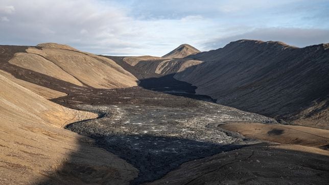
According to information from scientists who went on a second helicopter flight with the Icelandic Coast Guard, the total length of the fissure eruption has not changed much from the beginning. There was little activity at the southern end of the fissure near Hagafell, and the majority of the lava flow is heading east towards Fagradalsfjall.
A new hazard assessment map is being prepared, and it will be published later today."
Many people choose to travel to locations around the world that are home to volcanoes that are either active or dormant. Areas that have volcanoes attract tourists because of the views and terrain that surround them, but traveling to these zones comes with some risks.
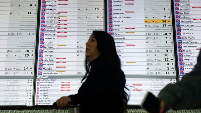
Can you get compensated for flight disruptions caused by volcanoes?
Fissure eruptions to subside, but it could still go on for some time
Geologists said early on Tuesday that lava appeared to be flowing away from the coastal Grindavik, which is the only town in the area and located 25 miles southwest of capital Reykjavik.
The eruption of the volcano in Iceland has raised concerns about the consequences it could have on the Nordic country and the rest of Europe.
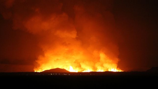
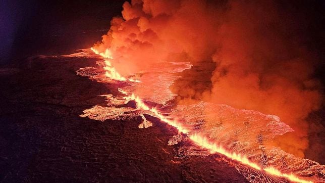
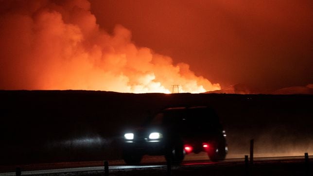
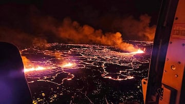
The volcano that erupted in southwest Iceland has been spitting out lava and smoke. Images and livestreams of the eruption have shown molten rock spewing dramatically from fissures in the ground.
The photos and videos of the event have been so spectacular as the bright-yellow and orange colors appear in such sharp contrast against the dark night sky.
Volcanic eruption reaching a state of equilibrium
The eruption fissure is four kilometers long, but the rate of effusion has decreased. At the moment, the lava is not heading towards Grindavik or the power plant, so the eruption is as non-threatening as possible.
Incredible footage of Grindavík volcano
Check out some more video footage from the BBC, as the Norwegian Meteorological Agency took an estimate that the amount of lava spewing out between 100 to 200 cubic meters per second.
Attention has turned to the small Atlantic island nation of Iceland with the news of a volcanic eruption. The country has a population of around 372,000 people with the majority living in the capital and largest city of Reykjavik.
Beyond the major cities, Iceland’s population is scattered across towns and villages. One of these is Grindavik, a town on the southern coast of the Reykjanes Peninsula. The small village is usually home to around 4,000 people The distance between Grindavik and Reykjavik is approximately about 26 miles (42km).
The Reykjanes Peninsula has experienced increased seismic activity and volcanic unrest in recent months.
Update from the Icelandic Met Office
The intensity of the volcanic eruption, which started about four hours ago, is decreasing. This is evident from seismic and GPS measurements. The fact that the activity is decreasing already is not an indication of how long the eruption will last, but rather that the eruption is reaching a state of equilibrium.
The 2010 eruption of the Eyjafjallajökull volcano led to widespread disruption in air travel across Europe. The ash plume reached high altitudes, and prevailing winds carried it southeast across Europe. 2023 has had its share of eruptions and the most recent near Grindavik could be a risk in the coming days.
The main concern during a volcanic eruption is the release of ash into the atmosphere.
Map of the eruption has been published
“Warning: Eruption has started north of Grindavik by Hagafell,” the UK Met Office said on Monday.
“Seismic activity together with measurements from GPS devices indicate that the magma is moving to the south-west and the eruption may continue in the direction of Grindavik,” the Met Office said.
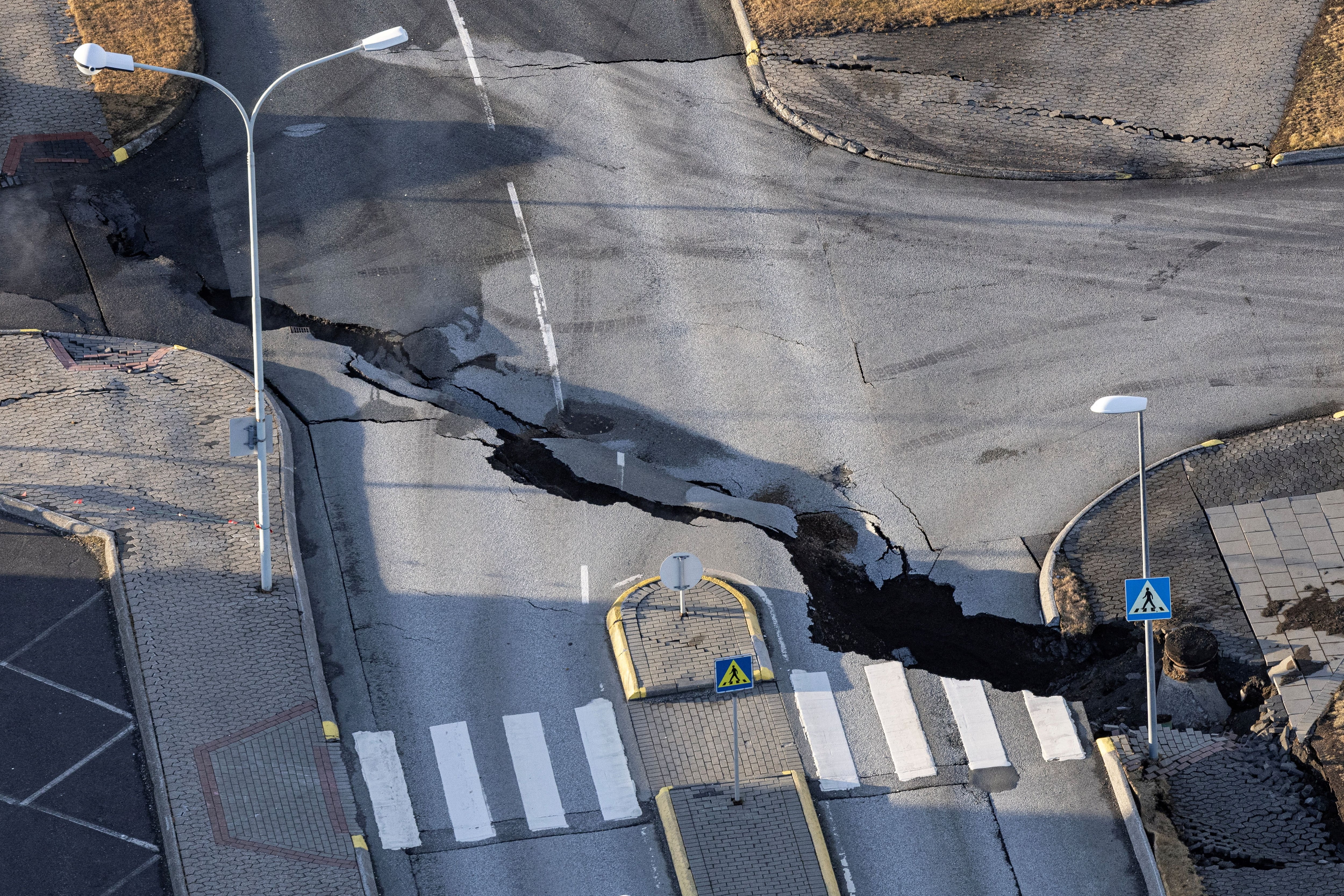
Drone footage taken by Bjorn Steinbekk shows the cracks in the earth that go throughout the city of Grindavik, Iceland. The cracks were caused by more than 1,000 earthquakes, which were the result of seismic activity that began increasing around the Fagradalsfjall volcano on October 25.
Fissures erupt in the ground after eruption
As molten rock, gases, and other volcanic materials build up within the Earth, the pressure can cause the surrounding rock to fracture, creating fissures. These openings serve as channels for magma to reach the surface, leading to the explosive release of ash, lava, and gases.
Welcome to the AS USA live feed
A long-expected volcanic eruption is currently underway near Grindavik, Iceland.
Join us for this live feed as we bring you real-time updates on the unfolding situation, exploring the impact on the island as well as further afield.
