The loss of this red plankton would weaken almost all predators at the top levels of the food chain. NASA are tracking plankton blooms from space.

NASA scientists peer into the ocean and discover the tiny creatures that keep the titans of the sea alive

Satellite oceanographer Rebekah Shunmugapandi from the Bigelow Laboratory for Ocean Sciences in Maine has shown that huge swarms of zooplankton can measurably change the color of the ocean across entire regions — a breakthrough that could pave the way for far more advanced detection methods.
These enormous patches of red plankton are a high‑calorie feast for whales, fish, and seabirds. Losing this plankton in northern waters would weaken nearly every predator higher up the food chain.
Until recently, scientists relied on ships dragging fine‑mesh nets through the water to manually count plankton — a costly, time‑consuming process that offered only a tiny snapshot of vast marine ecosystems. That’s no longer the case. Now, these plankton blooms are visible from space.
Satellite images reveal massive red plankton blooms
Shunmugapandi’s team processed MODIS satellite data to create enhanced color maps that highlight unusual red patches. One image from the Gulf of Maine revealed a dense swarm with an estimated 150,000 individuals per cubic meter.
Even more striking: swarms of Calanus finmarchicus spanning more than 400 square miles (over 640 square kilometers) were clearly visible in satellite imagery. This confirms that large zooplankton aggregations can alter ocean color on a regional scale — and that satellites can detect them.
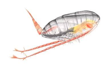
Tracking Calanus is crucial because it’s the primary food source for North Atlantic right whales.
Follow the red Plankton, find the whales
There’s a saying in movies: “Follow the money and you’ll find the real story.” In this case, follow the red plankton and you’ll find the whales.
North Atlantic right whales move in tight connection with the location of Calanus finmarchicus swarms. These whales skim the surface to feed on the tiny crustaceans, and when food becomes scarce, they venture beyond their traditional feeding grounds — sometimes into busy shipping lanes and fishing zones, where the risk of entanglement and ship strikes rises sharply.
A New Tool to Predict Whale Movements — and Protect Them
These new ocean‑color maps could help scientists forecast where whales are most likely to travel during a given season. More accurate predictions would allow for faster, targeted responses — such as voluntary slowdowns, temporary fishery closures, or rerouted vessel traffic — especially when whales appear in unusual concentrations.
In short, spotting plankton from space may become one of the most powerful tools yet for protecting one of the world’s most endangered whale species.
Related stories


Get your game on! Whether you’re into NFL touchdowns, NBA buzzer-beaters, world-class soccer goals, or MLB home runs, our app has it all.
Dive into live coverage, expert insights, breaking news, exclusive videos, and more – plus, stay updated on the latest in current affairs and entertainment. Download now for all-access coverage, right at your fingertips – anytime, anywhere.
Complete your personal details to comment