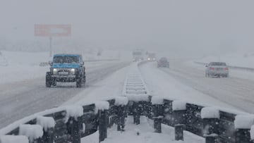
Winter Storm Blair: These are the areas with risks of severe weather conditions, freezing rain and snow this weekend
A low pressure system will drive across the US this weekend into next week dumping snow and potential icing from the Central Plains to the Mid-Atlantic.

The first major winter storm to hit the United States of the year is brewing off the northwest coast, set to come ashore on Friday and drive across the nation over the weekend and into next week. Baptized Winter Storm Blair, it is forecast to blanket a 1,500-mile stretch of the nation from the Central Plains to the Mid-Atlantic with heavy snow and potential icing.
Meteorologists at the National Weather Service warn that “severe travel disruptions are expected.”
Winter Storm Blair: where to expect heavy snowfall and freezing rain
As the low pressure system moves into the Central Plains on Saturday much of the snowfall will occur in the northern and central Rockies. The Central Plains, and in particular Kansas, will first see a mix of rain, snow and ice. Saturday evening and overnight the wintry weather will continue to develop and extend as far east as the Central Mississippi Valley.
On Sunday there is the potential for heavy snowfall, NWS meteorologists forecast a high chance of at least 6 inches, along and north of the I-70 corridor from Kansas to Ohio. Some areas within the 1,500-mile stretch of the storm could see upwards of 18 inches of snow. The storm is predicted to bring gusty winds which could reduce visibility.
A winter storm is expected to begin impacting the Central Plains by Saturday night, with heavy snow and significant icing potential spreading eastward to the Mid-Atlantic by early next week. See our latest Key Messages below. ❄️ pic.twitter.com/habFiutQEO
— NWS Weather Prediction Center (@NWSWPC) January 2, 2025
Areas south of the those impacted by snow are expected to see significant sleet and icing. This will extend from eastern Kansas and the Ozarks over to Tennessee and Lower Ohio Valley. The Southern Appalachians could also see icing on Sunday.
By Sunday night the storm, along with wintry weather, should reach the Mid-Atlantic with the potential for heavy snowfall in Washington DC and Baltimore. Wintry weather is expected to continue impacting areas of the Ohio Valley, Appalachians and Mid-Atlantic into Monday complicating morning commutes but tapper off overnight.
Travel in the areas affected by Winter Storm Blair should be avoided. The NWS warns that snowfall and ice amounts “can vary greatly over short distances.” The national meteorological agency also advises to check for updated forecasts as they can change frequently.
Related stories
Get your game on! Whether you’re into NFL touchdowns, NBA buzzer-beaters, world-class soccer goals, or MLB home runs, our app has it all.
Dive into live coverage, expert insights, breaking news, exclusive videos, and more – plus, stay updated on the latest in current affairs and entertainment. Download now for all-access coverage, right at your fingertips – anytime, anywhere.
